If you're venturing into the world of aerial surveying, having the right drone makes all the difference. Drones for aerial surveying let you collect high-quality data efficiently, saving you time and frustration. Here are some top picks that stand out from the crowd.
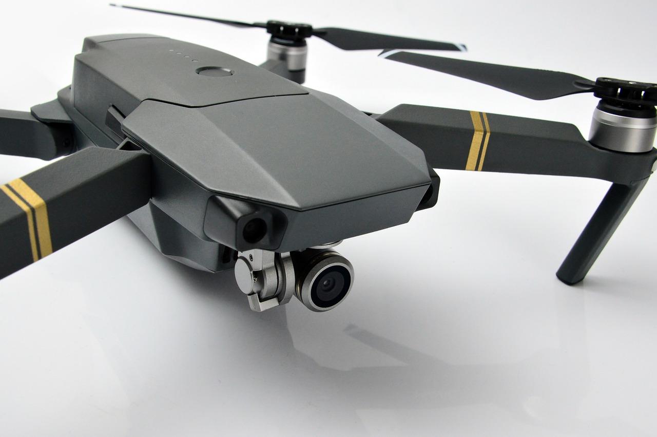
The DJI Phantom 4 RTK is a favorite among professionals. It's packed with features like real-time kinematic (RTK) positioning, which helps you achieve centimeter-level accuracy. Plus, it’s user-friendly, making it great for those who might be new to aerial surveying. With its impressive camera and extended flight time, this drone is ready to tackle any surveying job.
Another solid choice is the senseFly eBee X. This fixed-wing drone offers an impressive flight range, allowing you to cover large areas in one go. Its advanced mapping capabilities make it perfect for topographical surveys. Whether you’re working on agriculture or construction, this drone gets the job done without breaking a sweat.
If you need something that balances performance and portability, the Parrot Anafi USA fits the bill. This drone is lightweight, easy to carry, and comes with a powerful camera that captures stunning images and 4K video. It's a great option for those who want to do aerial surveys without hauling around bulky equipment.
For those who need a heavy-duty option, check out the DJI Matrice 300 RTK. This drone has a high payload capacity and supports a range of cameras and sensors. It's perfect for those larger projects that require versatility and reliability. With its rugged design and advanced features, the Matrice 300 RTK is built to handle tough conditions while delivering precise data.
How to Choose the Right Drone
Picking the right drone for your aerial surveying needs can feel overwhelming with so many options out there. But don't sweat it! Let's break it down together. First, think about what you want to achieve with your surveys. Are you looking for high-resolution images, real-time data, or maybe both? Knowing your goals will help narrow down the choices.
Next up, consider the camera quality. Drones for aerial surveying often come with built-in cameras or support for external ones. If you want precise measurements and clear images, look for drones with at least 4K resolution and adjustable gimbals. This feature will keep your footage steady, even in the wind!
Battery life is another crucial factor. You don’t want to be swapping batteries every few minutes while you’re out in the field. Look for drones that can fly for at least 20 to 30 minutes on a single charge. This gives you enough time to cover large areas without constant interruptions.
Finally, check out the drone’s software compatibility. Aerial surveying often requires specialized software for mapping and analysis. Make sure the drone you choose works well with your preferred software to streamline your workflow. With the right tools in hand, your projects will run smoothly and efficiently!

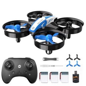
High-Stiffness Replacement Propellers for 6030F Drones
Upgrade Your Drone's Performance with High-Stiffness Replacement Propellers for 6030F Models
Product information
Product Review Score
4.33 out of 5 stars
207 reviewsProduct links
Essential Features for Surveying Drones
When it comes to choosing drones for aerial surveying, certain features really make a difference. You want to make sure you're getting a drone that's not only easy to fly but also packed with the tech you need to get clear, accurate data.
First up, camera quality is key. Look for drones with high-resolution cameras. You want at least a 4K camera for those detailed shots. The better the camera, the more precise your images will be, making it easier to analyze the surveyed area. Plus, having a good camera helps in capturing every little detail you might need.
Next, consider flight time. You don’t want to be flying your drone and suddenly find it running low on battery. Aim for drones that offer at least 20-30 minutes of flight time. This gives you enough time to cover large areas without constantly worrying about recharging. Look for drones that also have the option for battery upgrades; it’s a great way to extend your surveying sessions.
Don't forget about GPS and mapping features. Drones for aerial surveying should come equipped with reliable GPS systems for precise positioning. Some models even allow you to create flight paths, ensuring that you capture the same area systematically over time. This is super handy for things like tracking changes in land use or environmental impacts.
Finally, think about stabilization technology. Drones equipped with gimbals help keep the camera steady even when the wind kicks up. This stability ensures that your images and data stay sharp, which is essential for accurate surveying. Picking a drone with these features can really enhance your surveying experience, making it way easier and more efficient.
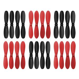
24PCS Propellers for HS190 and Other Drones
Keep your flights smooth and extend your drone's range with these durable propellers designed for the HS190 and more
Product information
$13.99
Product Review Score
4.75 out of 5 stars
56 reviewsProduct links
Tips for Successful Aerial Surveys
When you're using drones for aerial surveying, you want to get the best results possible. Here are some tips to help you nail that project.
First off, choose the right drone. Look for one with GPS capabilities and a good camera. You’ll find that drones with higher resolutions give better data. Some popular options in the drones for aerial surveying category are the DJI Phantom 4 RTK and the Parrot Anafi USA. Both of these choices offer solid features for mapping and surveying.
Next, plan your flight path. Use software to create a flight plan that covers all the areas you need. Make sure to keep an eye on your battery life. There’s nothing worse than running out of juice mid-survey! Aim for consistent overlap in images for better accuracy when you stitch them together later.
Don’t forget about weather conditions. Wind and rain can mess up your survey data. A clear day helps you capture crisp images. If it’s too windy, reschedule; your results will thank you! And, of course, always check local regulations to ensure you’re flying legally.
Lastly, take your time during the post-processing stage. This is where you’ll put all the pieces together. Use the right software to analyze your data and create the most accurate maps. Patience is key here, and your diligence will pay off in quality results.