When it comes to aerial surveying, accuracy is everything. Drones for aerial surveying bring you the power of high-resolution imagery and precise data collection, which are game changers in various industries. From construction to agriculture, these flying companions can easily cover large areas and gather the info you need without all the hassle.
One of the standout benefits is the speed at which you can collect data. Traditional surveying methods could take days or even weeks to complete a project. With drones, you can gather the same data in just a few hours. This means quicker decisions and faster project timelines, keeping your costs down and your clients happy.
Let’s not forget about safety. Deploying drones for aerial surveying means you can avoid risky, hard-to-reach places. Instead of sending a team into potentially dangerous areas, you can fly a drone above it all. This not only protects your crew but also cuts down on liability issues.
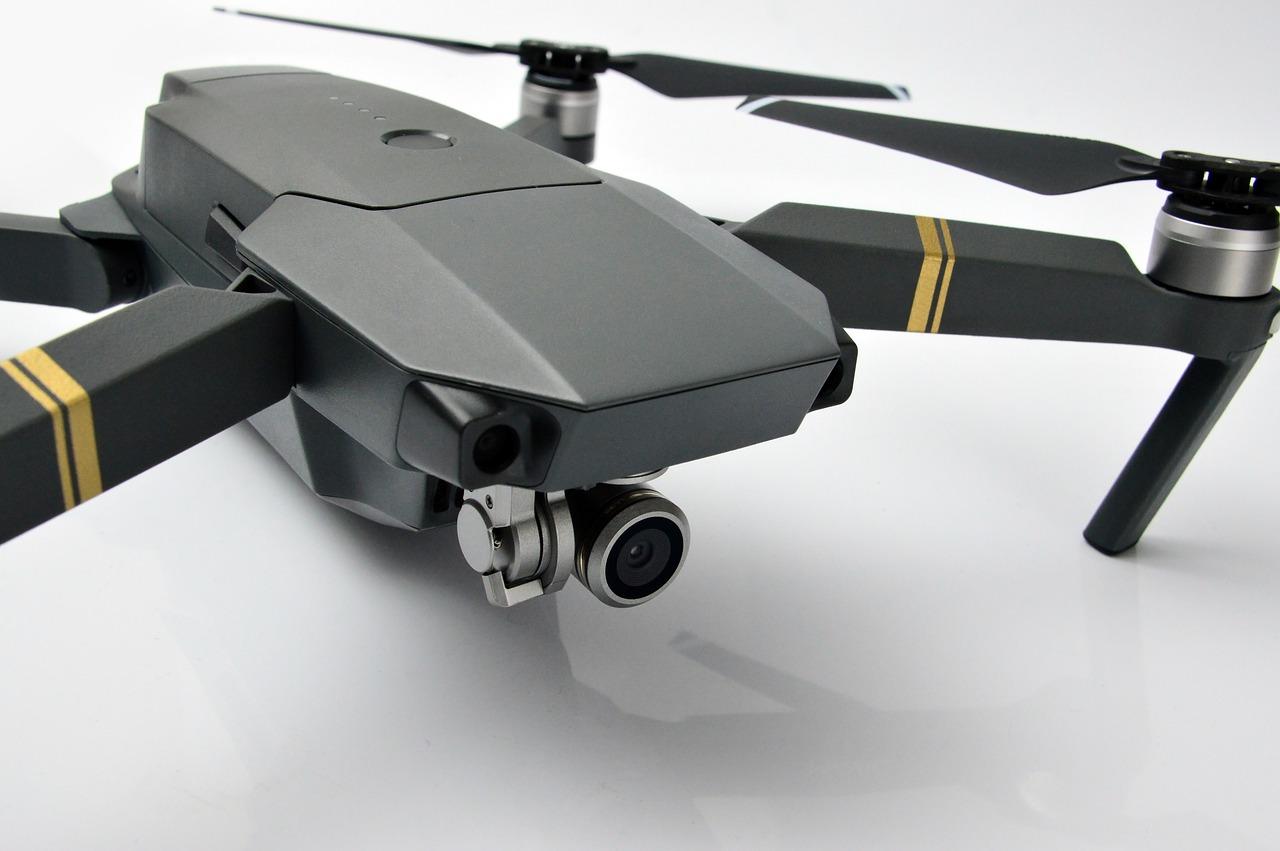
And get this, the precision of drone technology is just mind-blowing. Many drones come equipped with advanced sensors that capture extraordinary details. You can expect accurate measurements that traditional methods struggle to achieve. It’s like having a bird’s-eye view with superpowers, helping you spot things you might miss from the ground.
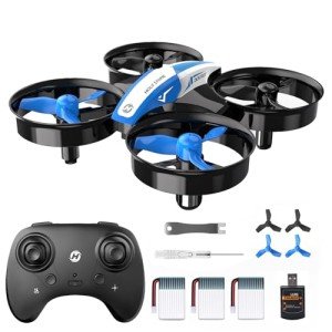
Choosing the Right Drone for Surveys
Picking the right drone for surveys can feel a bit overwhelming with all the choices out there. But don’t sweat it! Let’s break it down so you can find the perfect fit for your needs.
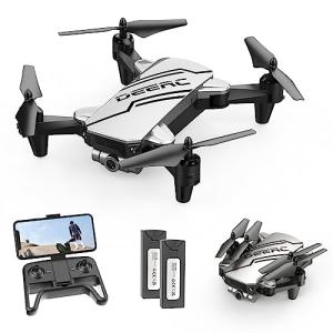
First things first, think about the type of surveys you want to do. Are you looking at land surveying, construction, or maybe agriculture? Each area has different requirements. For example, if you're surveying large plots of land, you’ll want a drone with long flight times and the ability to cover a wide area. But if you’re focusing on smaller spaces with lots of detail, look for one that can capture high-resolution images.
Next up, consider the camera quality. Drones for aerial surveying need cameras that can produce sharp, clear images to ensure accuracy. Look for drones that have at least 20 MP cameras or ones that can take high-quality video. Features like gimbals for stabilization are a huge plus since they keep your images steady and clear even in windy conditions.
Battery life is another crucial factor. You want a drone that can fly long enough to complete your surveys without frequent stops for recharging. Drones with 30 minutes or more of flight time are really handy. You’ll get more done in one go, and less time wasted on batteries means more time for surveying.
Lastly, don’t forget about the software. Some drones come with built-in mapping or surveying tools that can save you a ton of time. Look for options that are user-friendly and compatible with the software you already use. Getting the right tech that works for you will make your surveying tasks a lot smoother.
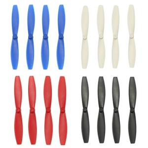
Anbee Colorful Propeller Set for Parrot Drones
Upgrade your Parrot drone with these vibrant and durable propellers for a fun flying experience
Product information
$9.99
Product Review Score
4.69 out of 5 stars
53 reviewsProduct links
Key Features for Accurate Measurements
When it comes to Drones For Aerial Surveying, accuracy is everything. These drones come packed with features designed to take measurements that are spot on, making your surveying job a whole lot easier. Here are some key features you should look for:
Each of these features plays a significant role in ensuring that your measurements are not just close, but accurate. Whether you’re working on construction sites, land surveying, or agriculture, having the right drones for aerial surveying makes all the difference. You want tools that help you get the job done right and fast.
Think about what matters most for your surveying needs. By focusing on these key features, you’ll make informed decisions and boost your efficiency in no time. It’s all about having reliable tools in your corner!

DJI Phantom 3 Professional Aerial Drone
Elevate Your Aerial Photography and Videography with the DJI Phantom 3 Professional Drone
Product information
Product Review Score
4.32 out of 5 stars
199 reviewsProduct links
Tips for Using Drones Effectively
When it comes to using drones for aerial surveying, getting the most out of your equipment makes a big difference. Here are some straightforward tips to help you fly effectively and gather the data you need.
First off, plan your flight path. Before you even take off, scout the area and decide where you want to capture the most information. Use mapping software to create a route that covers all necessary spots. This not only saves time but ensures you don’t miss any important details during your survey.
Next, check the weather. Drones don’t like wind or rain. Flying in bad conditions can mess up your data. Clear skies and no wind are ideal. If the forecast looks sketchy, it’s best to reschedule for a better day.
Battery life is another key factor. Drones for aerial surveying often come with strong batteries, but it’s smart to keep track of your flight time. Consider bringing extra batteries and a portable charger if you plan a long day of surveying.
Finally, collect your data properly. Make sure you’re using the right settings on your drone’s camera or sensors. High resolution and proper angles will help you get the best images and data. Take your time to double-check everything before you hit the record button.